| << Cookinseln - Tokelau-Inseln - Niue - Kermadecinseln |
||
|
||
Zuletzt angesehene Artikel:
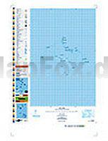
 | PI08 Suwarrow (Cookinseln) Topographische Landkarte 1:50.000 - Land Information New Zealand |
 | Europa 1:4.5 Mio. physikalisch (multilingual) Straßenkarte Kümmerly + Frey |