 The entire route across two maps, including sections through Bannau Brycheiniog National Park, the Cambrian Mountains and Eryri National Park A good week’s walking on each map Information on accommodation and services Lightweight, detailed, clear and easy to read. The route is clearly highlighted in red Printed on tough 100% waterproof, tearproof paper Full map legend in English and Welsh  Kartenbeispiel Kartenbeispiel
|
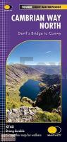
Cambrian Way North XT40 - Long Distance Route - Wanderkarte 1:40.000 Devil´s Bridge to Conwy - HARVEY MAPS
EAN / ISBN: 9781851376872
Preis: EUR 28.90
|
|


